Here are the symbols avilable by default used to represent areas. Within QRex these are made with the styling tool and allocated according to the type of area (or polygonal IMP).
| N° | Type | Sub-type | QRex label | Symbol |
| 55 | Other fortifications and military features | Not specified | Militar :: Other fortifications and military features |  |
| 74 | Other civilian features diverted for military use | Not specified | Civil :: Other civilian features diverted for military use | 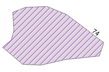 |
| 92 | Other strategically important features | Not specified | Strateg :: Other strategically important features |  |
| 98 | Large depression | Not specified | Terrain :: Large depression | 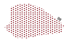 |
| 99 | Steep slope (>40°) | Not specified | Steep slope (>40°) | 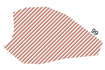 |
| 100 | Mountain pass | Not specified | Mountain pass | 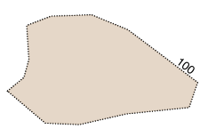 |
| 101 | Mountain pass | Ambush site | Mountain pass :: Ambush site | 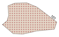 |
| 102 | Precipice | Not specified | Precipice |  |
| 103 | Hill top | Vantage point | Vantage point (Hill top) |  |
| 104 | Mountain top | Vantage point | Vantage point (Mountain top) | 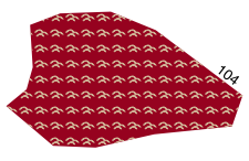 |
| 106 | Plateau | Vantage point | Vantage point (Plateau) | 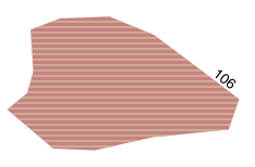 |
| 109 | Other terrain features | Not specified | Terrain :: Other terrain features |  |
| 110 | Cultivated field, in use | Not specified | Land :: Cultivated field, in use | 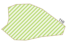 |
| 111 | Overgrown field, abandoned | Not specified | Land :: Overgrown field, abandoned |  |
| 112 | Pasture, in use | Not specified | Land :: Pasture, in use | 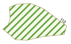 |
| 113 | Overgrown pasture, abandoned | Not specified | Land :: Overgrown pasture, abandoned | 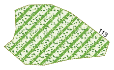 |
| 114 | Managed forest, in use | Not specified | Land :: Managed forest, in use | 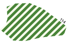 |
| 115 | Managed forest, abandoned | Not specified | Land :: Managed forest, abandoned | 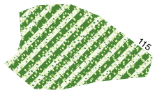 |
| 117 | Forest glade (historical location) | Not specified | Land :: Forest glade (historical location) | 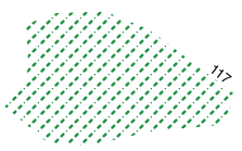 |
| 118 | Overgrown meadow, abandoned | Not specified | Land :: Overgrown meadow, abandoned | 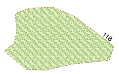 |
| 119 | Permanently flooded wetlands | Not specified | Land :: Permanently flooded wetlands | 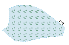 |
| 122 | Other Land cover/Land use features | Not specified | Land :: Other Land cover/Land use features | 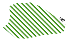 |
| 123 | Area demined by military forces | Not specified | Area demined by military forces | 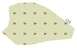 |