At the start of demining operations there is a necessity to collect data telling what happened during the fights that occurred years before; the information may come from war archives, witnesses' testimony or ground remains like bunkers, trenches and lots of smaller evidences. And unfortunately accidents affecting the population long after the war is over.
QRex was designed for collecting the information related to the ground remains. When finding a place with remains of military presence and/or fights the caracterisation and relative positions of the different remains found, lead a better understanding of the battlefield by experts and hence the identification of the probably contaminated (with mines) areas. This is the information sought because it is the starting signal for mine search operations.
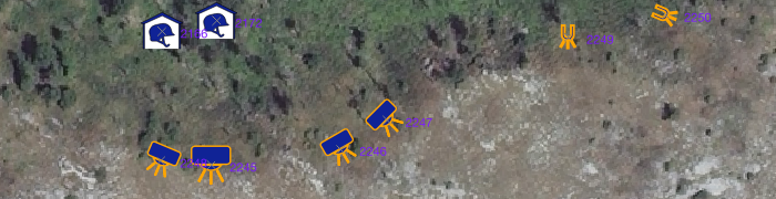
The information related to these remains of war is usually called 'Indicators of Mine Presence' (IMP, or mine absence : IMA). Geometrically speaking the IMPs can be points, lines or polygons; the most obvious and most numerous are points, there is no real need to delimit exactly the perimeter of bunkers, shelters, ammunition deposits, and so on, the there are lines, like trenches, walls or roads, and finally there are polygons for terrain features or land use.
These three IMP/IMA types are distinctly supported by QRex and represented by symbols.
- The points are represented by svg's which vary in size, color, orientation to reflect the field reality.
- The lines and polygons are based on QGis regular symbology tool.
-- To be continued ...